A bend in the river, Bridgend
Introduction
The photograph on this page of A bend in the river, Bridgend by Jaggery as part of the Geograph project.
The Geograph project started in 2005 with the aim of publishing, organising and preserving representative images for every square kilometre of Great Britain, Ireland and the Isle of Man.

There are currently over 7.5m images from over 14,400 individuals and you can help contribute to the project by visiting https://www.geograph.org.uk
A bend in the river, Bridgend
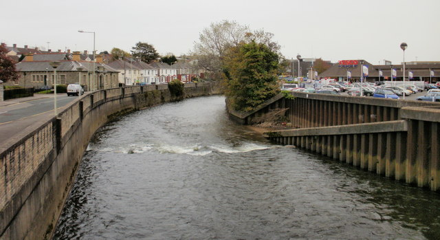
Image: © Jaggery Taken: 26 Oct 2009
To the left of the Ogmore River (Afon Ogwr) is Quarella Road; to the right, a Tesco superstore and car park.http://www.geograph.org.uk/photo/1692167 In contrast to this urban setting, the view upstream http://www.geograph.org.uk/photo/1692149 looks decidedly rural.
Images are licensed for reuse under creativecommons.org/licenses/by-sa/2.0
Image Location
Latitude
51.510064
Longitude
-3.5807