Seine Lane, Enderby
Introduction
The photograph on this page of Seine Lane, Enderby by Kate Jewell as part of the Geograph project.
The Geograph project started in 2005 with the aim of publishing, organising and preserving representative images for every square kilometre of Great Britain, Ireland and the Isle of Man.

There are currently over 7.5m images from over 14,400 individuals and you can help contribute to the project by visiting https://www.geograph.org.uk
Seine Lane, Enderby
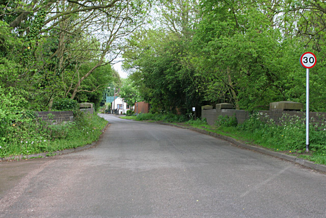
Image: © Kate Jewell Taken: 12 May 2006
Strawberry Gardens to left and the village straight ahead. The bridge crosses the northern end of Image
Images are licensed for reuse under creativecommons.org/licenses/by-sa/2.0
Image Location


Leaflet Map data © OpenStreetMap
Latitude
52.590676
Longitude
-1.211704