One of Dunwear Ponds
Introduction
The photograph on this page of One of Dunwear Ponds by Derek Harper as part of the Geograph project.
The Geograph project started in 2005 with the aim of publishing, organising and preserving representative images for every square kilometre of Great Britain, Ireland and the Isle of Man.

There are currently over 7.5m images from over 14,400 individuals and you can help contribute to the project by visiting https://www.geograph.org.uk
One of Dunwear Ponds
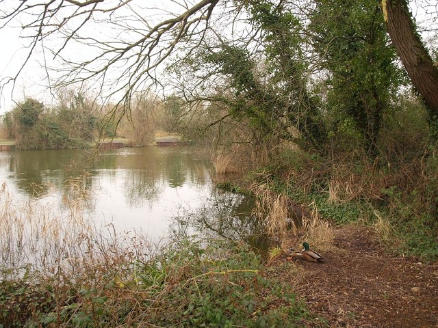
Image: © Derek Harper Taken: 26 Jan 2010
The easternmost of four ponds on the site of a former clay pit. Dunwear Ponds form a County Wildlife Site and are used for angling - platforms can be seen on the far side.
Images are licensed for reuse under creativecommons.org/licenses/by-sa/2.0
Image Location
Latitude
51.119258
Longitude
-2.980792