Litchard Terrace, Bridgend
Introduction
The photograph on this page of Litchard Terrace, Bridgend by Jaggery as part of the Geograph project.
The Geograph project started in 2005 with the aim of publishing, organising and preserving representative images for every square kilometre of Great Britain, Ireland and the Isle of Man.

There are currently over 7.5m images from over 14,400 individuals and you can help contribute to the project by visiting https://www.geograph.org.uk
Litchard Terrace, Bridgend
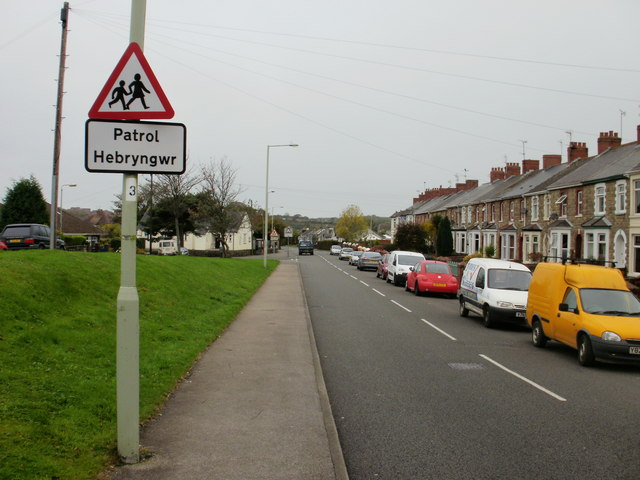
Image: © Jaggery Taken: 26 Oct 2009
Looking along Litchard Terrace towards the Taylor Road junction. The grass strip on the left separates Hubert Drive http://www.geograph.org.uk/photo/1690922 from Litchard Terrace.
Images are licensed for reuse under creativecommons.org/licenses/by-sa/2.0
Image Location
Latitude
51.520908
Longitude
-3.576751