Haine Farm from the re-routed A256
Introduction
The photograph on this page of Haine Farm from the re-routed A256 by Nick Smith as part of the Geograph project.
The Geograph project started in 2005 with the aim of publishing, organising and preserving representative images for every square kilometre of Great Britain, Ireland and the Isle of Man.

There are currently over 7.5m images from over 14,400 individuals and you can help contribute to the project by visiting https://www.geograph.org.uk
Haine Farm from the re-routed A256
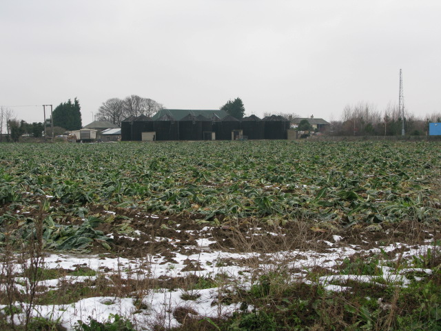
Image: © Nick Smith Taken: 12 Jan 2010
A new road has been put in to take traffic away from the old A256 which passed Haine Farm on the western side. This road hasn't yet made it on to the 1:500000 map.
Images are licensed for reuse under creativecommons.org/licenses/by-sa/2.0
Image Location
Latitude
51.355398
Longitude
1.390196