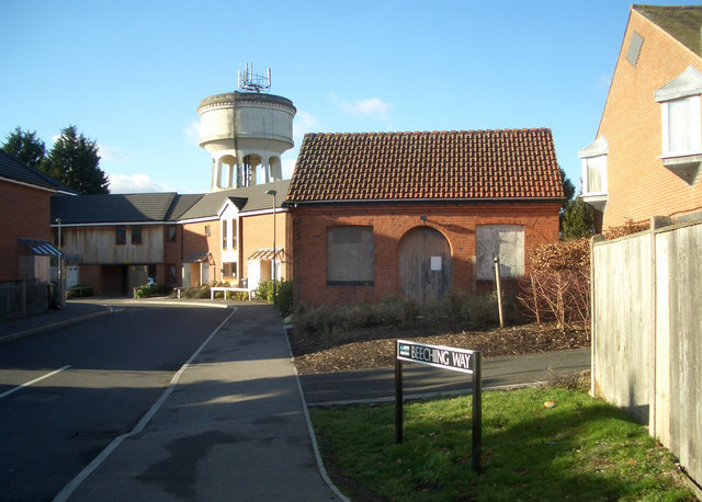
Beeching Way
Introduction
The photograph on this page of Beeching Way by Des Blenkinsopp as part of the Geograph project.
The Geograph project started in 2005 with the aim of publishing, organising and preserving representative images for every square kilometre of Great Britain, Ireland and the Isle of Man.
There are currently over 7.5m images from over 14,400 individuals and you can help contribute to the project by visiting https://www.geograph.org.uk

Image: © Des Blenkinsopp Taken: 30 Jan 2010
Beeching Way is on the site of the terminus of the old branch line which used to run between the main line at Cholsey and Wallingford Station, which was near here. The station closed to passengers in 1959 and no trace remains. Dr Richard Beeching in 1963 produced a report which resulted in the closure of many lines and stations, and Wallingford would undoubtedly have been one of them if events hadn't beaten him to it. But as this road is on the site of a closed station, the name is relevant. The small boarded up building was part of an old pumping station. Since this picture was taken it has been converted to a house, shown here Image

