Farmland, south of Happisburgh
Introduction
The photograph on this page of Farmland, south of Happisburgh by Katy Walters as part of the Geograph project.
The Geograph project started in 2005 with the aim of publishing, organising and preserving representative images for every square kilometre of Great Britain, Ireland and the Isle of Man.

There are currently over 7.5m images from over 14,400 individuals and you can help contribute to the project by visiting https://www.geograph.org.uk
Farmland, south of Happisburgh
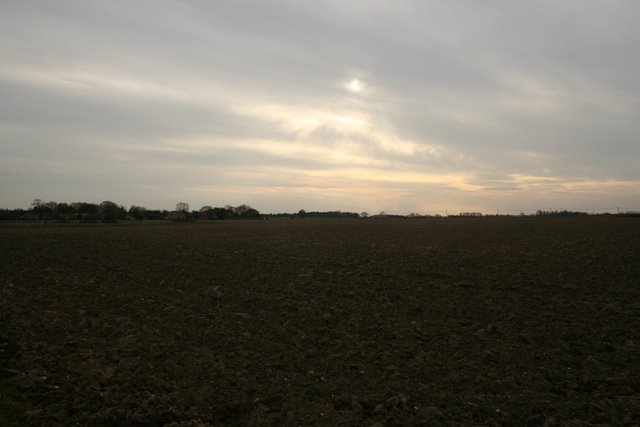
Image: © Katy Walters Taken: 12 Mar 2008
Looking southwest across typical north-east Norfolk open land.
Images are licensed for reuse under creativecommons.org/licenses/by-sa/2.0
Image Location
Latitude
52.811062
Longitude
1.525604