National Cycle Network sign, Dundonald
Introduction
The photograph on this page of National Cycle Network sign, Dundonald by Albert Bridge as part of the Geograph project.
The Geograph project started in 2005 with the aim of publishing, organising and preserving representative images for every square kilometre of Great Britain, Ireland and the Isle of Man.

There are currently over 7.5m images from over 14,400 individuals and you can help contribute to the project by visiting https://www.geograph.org.uk
National Cycle Network sign, Dundonald
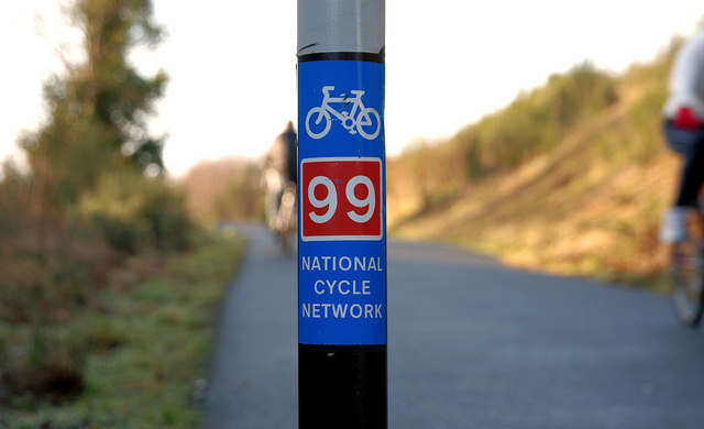
Image: © Albert Bridge Taken: 23 Jan 2010
See Image Route 99 (looking towards Knock), along the Comber Greenway, at the East Link Road, Dundonald.
Images are licensed for reuse under creativecommons.org/licenses/by-sa/2.0
Image Location
Latitude
54.589602
Longitude
-5.813033