The Comber Greenway, Dundonald
Introduction
The photograph on this page of The Comber Greenway, Dundonald by Albert Bridge as part of the Geograph project.
The Geograph project started in 2005 with the aim of publishing, organising and preserving representative images for every square kilometre of Great Britain, Ireland and the Isle of Man.

There are currently over 7.5m images from over 14,400 individuals and you can help contribute to the project by visiting https://www.geograph.org.uk
The Comber Greenway, Dundonald
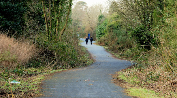
Image: © Albert Bridge Taken: 23 Jan 2010
The Comber Greenway Image (looking towards Knock), to the west of the entrance from the Comber Road, Dundonald. The conversion of the disused railway has proved to be a popular amenity. Continue to Image
Images are licensed for reuse under creativecommons.org/licenses/by-sa/2.0
Image Location
Latitude
54.58715
Longitude
-5.801716