Tallistown view
Introduction
The photograph on this page of Tallistown view by Jonathan Billinger as part of the Geograph project.
The Geograph project started in 2005 with the aim of publishing, organising and preserving representative images for every square kilometre of Great Britain, Ireland and the Isle of Man.

There are currently over 7.5m images from over 14,400 individuals and you can help contribute to the project by visiting https://www.geograph.org.uk
Tallistown view
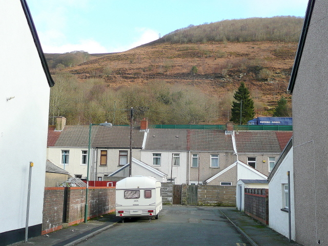
Image: © Jonathan Billinger Taken: 28 Jan 2010
Looking north-east, at right angles to the main road, this shows the proximity of the steep valley side to this pit village. The houses are the backs of King Street. Traffic on the elevated A4046 can be seen level with the roof apex.
Images are licensed for reuse under creativecommons.org/licenses/by-sa/2.0
Image Location
Latitude
51.737864
Longitude
-3.180083