Park area near Marton Avenue
Introduction
The photograph on this page of Park area near Marton Avenue by Philip Barker as part of the Geograph project.
The Geograph project started in 2005 with the aim of publishing, organising and preserving representative images for every square kilometre of Great Britain, Ireland and the Isle of Man.

There are currently over 7.5m images from over 14,400 individuals and you can help contribute to the project by visiting https://www.geograph.org.uk
Park area near Marton Avenue
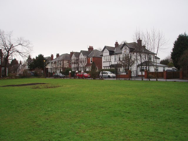
Image: © Philip Barker Taken: 2 Feb 2010
This photograph shows a view of a small park near Marton Avenue. Some of the houses in Marton Avenue can be seen in the centre of the picture. The consequences of a bonfire night celebration in November can be seen in the left-hand side of the grassed area. The picture was taken looking in a southerly direction towards Stewart Park.
Images are licensed for reuse under creativecommons.org/licenses/by-sa/2.0
Image Location
Latitude
54.545706
Longitude
-1.200932