Triangle at East Hagbourne
Introduction
The photograph on this page of Triangle at East Hagbourne by Bill Nicholls as part of the Geograph project.
The Geograph project started in 2005 with the aim of publishing, organising and preserving representative images for every square kilometre of Great Britain, Ireland and the Isle of Man.

There are currently over 7.5m images from over 14,400 individuals and you can help contribute to the project by visiting https://www.geograph.org.uk
Triangle at East Hagbourne
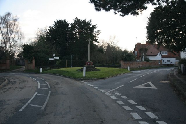
Image: © Bill Nicholls Taken: 24 Jan 2010
Another very old village, East Hagbourne, with the green triangle here with one of the two crosses in the village.
Images are licensed for reuse under creativecommons.org/licenses/by-sa/2.0
Image Location
Latitude
51.592499
Longitude
-1.235448