Trail junction
Introduction
The photograph on this page of Trail junction by Alan Murray-Rust as part of the Geograph project.
The Geograph project started in 2005 with the aim of publishing, organising and preserving representative images for every square kilometre of Great Britain, Ireland and the Isle of Man.

There are currently over 7.5m images from over 14,400 individuals and you can help contribute to the project by visiting https://www.geograph.org.uk
Trail junction
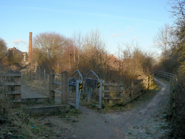
Image: © Alan Murray-Rust Taken: 31 Jan 2010
Part of the network of paths based on Pleasley Country Park. The footpath to the right runs along the top of an old railway cutting which is now the Teversal Trail.
Images are licensed for reuse under creativecommons.org/licenses/by-sa/2.0
Image Location
Latitude
53.17196
Longitude
-1.256447