Pleasley bypass
Introduction
The photograph on this page of Pleasley bypass by Alan Murray-Rust as part of the Geograph project.
The Geograph project started in 2005 with the aim of publishing, organising and preserving representative images for every square kilometre of Great Britain, Ireland and the Isle of Man.

There are currently over 7.5m images from over 14,400 individuals and you can help contribute to the project by visiting https://www.geograph.org.uk
Pleasley bypass
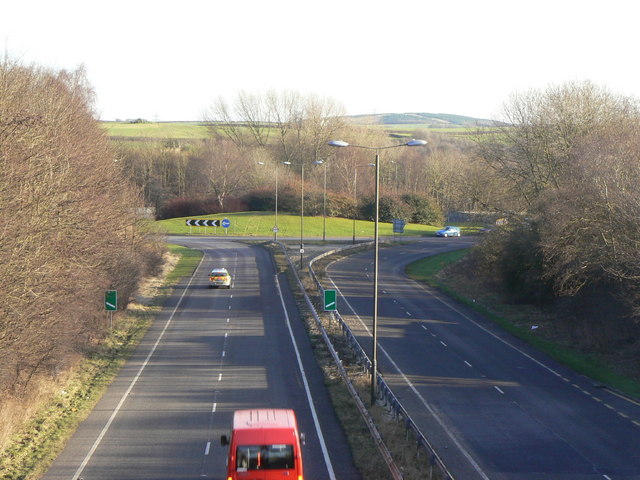
Image: © Alan Murray-Rust Taken: 31 Jan 2010
The footbridge crosses the bypass at the location of the old junction between the Chesterfield and Rotherham Roads. The latter now feeds into the roundabout.
Images are licensed for reuse under creativecommons.org/licenses/by-sa/2.0
Image Location
Latitude
53.176507
Longitude
-1.250534