Pewit House
Introduction
The photograph on this page of Pewit House by Dave Dunford as part of the Geograph project.
The Geograph project started in 2005 with the aim of publishing, organising and preserving representative images for every square kilometre of Great Britain, Ireland and the Isle of Man.

There are currently over 7.5m images from over 14,400 individuals and you can help contribute to the project by visiting https://www.geograph.org.uk
Pewit House
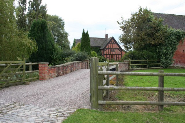
Image: © Dave Dunford Taken: 16 Sep 2009
The OS seem to be confused here - pretty sure this is Pewit House. I'd echo Mike Harris's comments on the rights-of-way round here - several footpaths in this square are sadly impassable.
Images are licensed for reuse under creativecommons.org/licenses/by-sa/2.0
Image Location
Latitude
53.005149
Longitude
-2.453105