Reservoir near Durham Lane
Introduction
The photograph on this page of Reservoir near Durham Lane by Philip Barker as part of the Geograph project.
The Geograph project started in 2005 with the aim of publishing, organising and preserving representative images for every square kilometre of Great Britain, Ireland and the Isle of Man.

There are currently over 7.5m images from over 14,400 individuals and you can help contribute to the project by visiting https://www.geograph.org.uk
Reservoir near Durham Lane
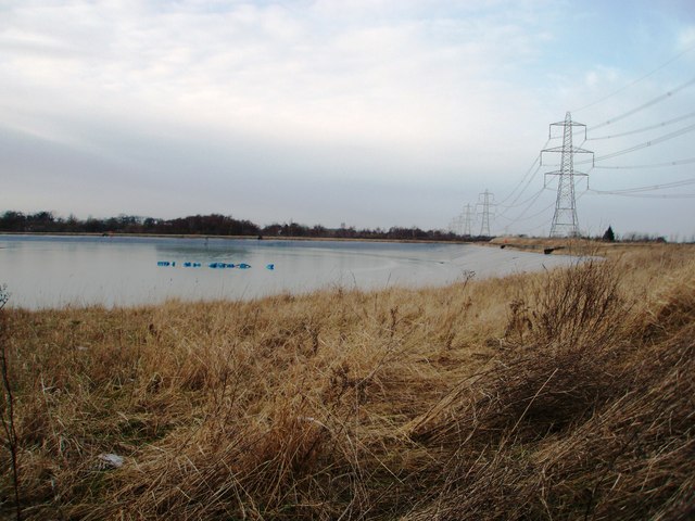
Image: © Philip Barker Taken: 1 Feb 2010
This photograph shows a view of the reservoir that is located near the (now disused) brick-works on Durham Lane. The distinctive pylons and electricity power lines that run along the side of the road can be seen on the right-hand side of the image. The picture was taken looking in a northerly direction towards the A66.
Images are licensed for reuse under creativecommons.org/licenses/by-sa/2.0
Image Location
Latitude
54.545413
Longitude
-1.363714