Lightfoot Lane, Eaton
Introduction
The photograph on this page of Lightfoot Lane, Eaton by Dave Dunford as part of the Geograph project.
The Geograph project started in 2005 with the aim of publishing, organising and preserving representative images for every square kilometre of Great Britain, Ireland and the Isle of Man.

There are currently over 7.5m images from over 14,400 individuals and you can help contribute to the project by visiting https://www.geograph.org.uk
Lightfoot Lane, Eaton
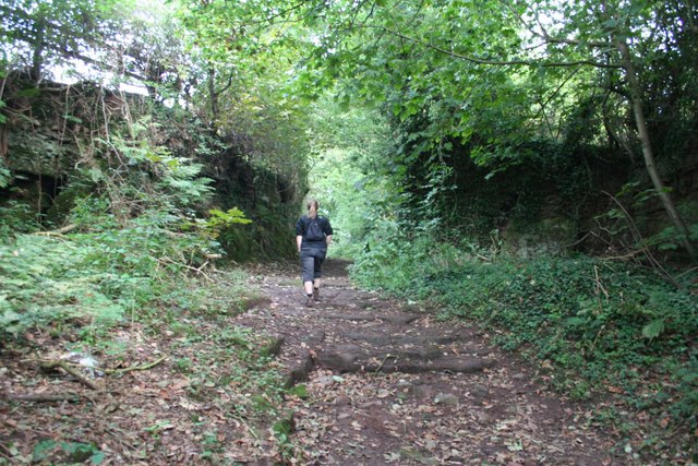
Image: © Dave Dunford Taken: 13 Sep 2009
Delightful hollow-way ascending Luddington Hill from Eaton village.
Images are licensed for reuse under creativecommons.org/licenses/by-sa/2.0
Image Location
Latitude
53.167506
Longitude
-2.643471