Grangefield Cottage
Introduction
The photograph on this page of Grangefield Cottage by Philip Barker as part of the Geograph project.
The Geograph project started in 2005 with the aim of publishing, organising and preserving representative images for every square kilometre of Great Britain, Ireland and the Isle of Man.

There are currently over 7.5m images from over 14,400 individuals and you can help contribute to the project by visiting https://www.geograph.org.uk
Grangefield Cottage
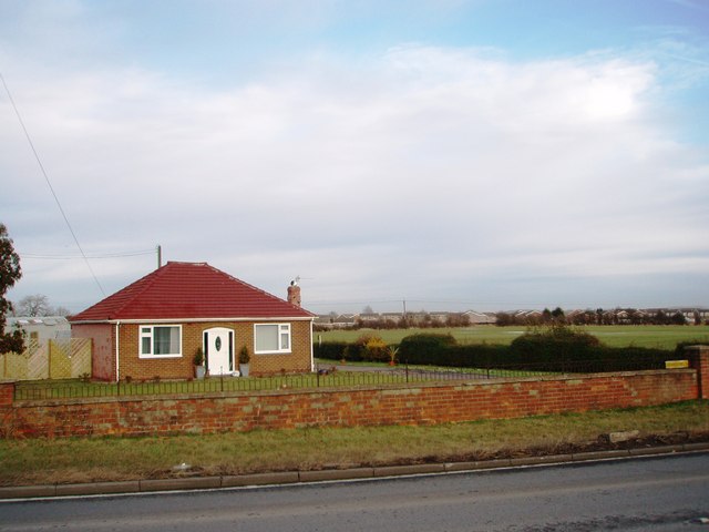
Image: © Philip Barker Taken: 1 Feb 2010
This photograph shows a view of Grangefield Cottage which is located in Yarm Back Lane. The picture was taken looking in an easterly direction towards Hartburn. Some of the houses in Hartburn can be seen on the horizon of the picture.
Images are licensed for reuse under creativecommons.org/licenses/by-sa/2.0
Image Location
Latitude
54.558469
Longitude
-1.368459