Caunton Village ahead
Introduction
The photograph on this page of Caunton Village ahead by roger geach as part of the Geograph project.
The Geograph project started in 2005 with the aim of publishing, organising and preserving representative images for every square kilometre of Great Britain, Ireland and the Isle of Man.

There are currently over 7.5m images from over 14,400 individuals and you can help contribute to the project by visiting https://www.geograph.org.uk
Caunton Village ahead
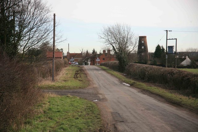
Image: © roger geach Taken: 1 Feb 2010
On the approach to Caunton can be seen the windmill now converted into a private dwelling. Caunton Mill, also known as Sharp's Mill, was a brick tower windmill with an ogee cap, built before 1825. It was out of use in the 1930s. The height of the tower is 43 feet. Bet you have a nice view from this dwelling.
Images are licensed for reuse under creativecommons.org/licenses/by-sa/2.0
Image Location
Latitude
53.136142
Longitude
-0.892484