Christ Church, in the Parish of Dore
Introduction
The photograph on this page of Christ Church, in the Parish of Dore by Peter Barr as part of the Geograph project.
The Geograph project started in 2005 with the aim of publishing, organising and preserving representative images for every square kilometre of Great Britain, Ireland and the Isle of Man.

There are currently over 7.5m images from over 14,400 individuals and you can help contribute to the project by visiting https://www.geograph.org.uk
Christ Church, in the Parish of Dore
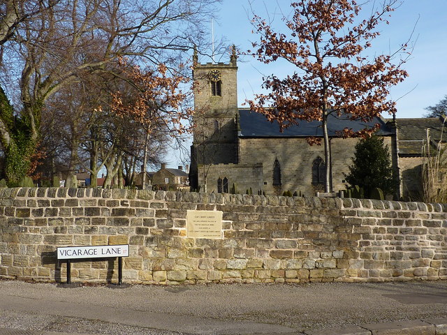
Image: © Peter Barr Taken: 1 Feb 2010
The plaque in the wall reads "Cat Croft Green; the area opposite was one of the six greens of Dore, also known as Catty Croft Green or Caddy Green"
Images are licensed for reuse under creativecommons.org/licenses/by-sa/2.0
Image Location
Latitude
53.325036
Longitude
-1.54055