The Ballymacormick Road, Bangor
Introduction
The photograph on this page of The Ballymacormick Road, Bangor by Rossographer as part of the Geograph project.
The Geograph project started in 2005 with the aim of publishing, organising and preserving representative images for every square kilometre of Great Britain, Ireland and the Isle of Man.

There are currently over 7.5m images from over 14,400 individuals and you can help contribute to the project by visiting https://www.geograph.org.uk
The Ballymacormick Road, Bangor
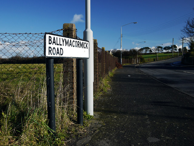
Image: © Rossographer Taken: 30 Jan 2010
Road on the northern edge of Bangor leading from the East Circular Road. The northern side of the road is green belt and, aside from Ballymacormick House, all development is along the southern side of the road only. Image shows the very end of the road.
Images are licensed for reuse under creativecommons.org/licenses/by-sa/2.0
Image Location
Latitude
54.667782
Longitude
-5.631953