2010 : A3098 at the end of Short Street
Introduction
The photograph on this page of 2010 : A3098 at the end of Short Street by Maurice Pullin as part of the Geograph project.
The Geograph project started in 2005 with the aim of publishing, organising and preserving representative images for every square kilometre of Great Britain, Ireland and the Isle of Man.

There are currently over 7.5m images from over 14,400 individuals and you can help contribute to the project by visiting https://www.geograph.org.uk
2010 : A3098 at the end of Short Street
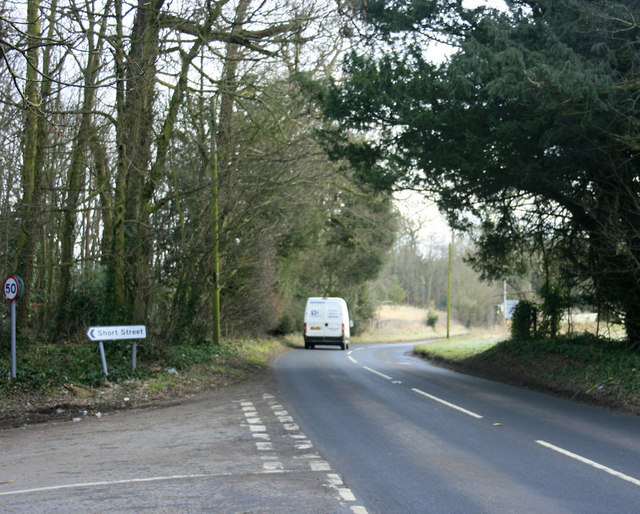
Image: © Maurice Pullin Taken: 31 Jan 2010
Heading east to Westbury where it meets the A350 and comes to an end.
Images are licensed for reuse under creativecommons.org/licenses/by-sa/2.0
Image Location
Latitude
51.236362
Longitude
-2.226694