2010 : Berkley Street at the end of Pot Lane
Introduction
The photograph on this page of 2010 : Berkley Street at the end of Pot Lane by Maurice Pullin as part of the Geograph project.
The Geograph project started in 2005 with the aim of publishing, organising and preserving representative images for every square kilometre of Great Britain, Ireland and the Isle of Man.

There are currently over 7.5m images from over 14,400 individuals and you can help contribute to the project by visiting https://www.geograph.org.uk
2010 : Berkley Street at the end of Pot Lane
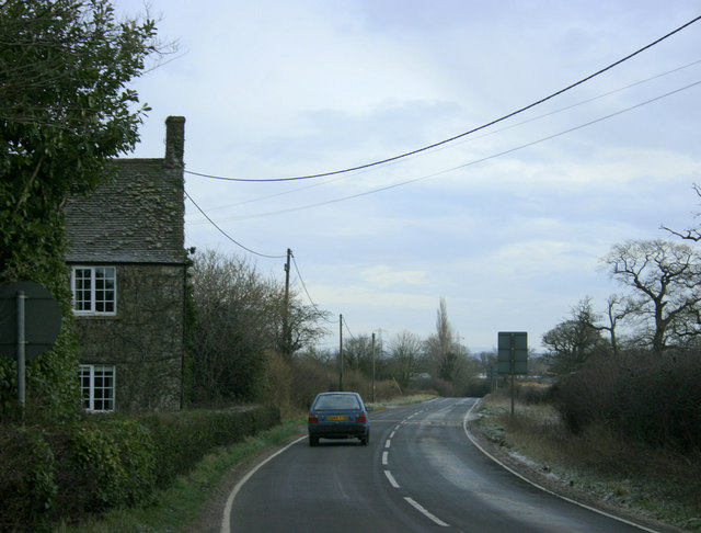
Image: © Maurice Pullin Taken: 31 Jan 2010
Looking north east toward Standerwick. Church Farm is to the left, Berkley is a short distance behind the camera.
Images are licensed for reuse under creativecommons.org/licenses/by-sa/2.0
Image Location
Latitude
51.24526
Longitude
-2.271007