Piper Dam
Introduction
The photograph on this page of Piper Dam by Richard Webb as part of the Geograph project.
The Geograph project started in 2005 with the aim of publishing, organising and preserving representative images for every square kilometre of Great Britain, Ireland and the Isle of Man.

There are currently over 7.5m images from over 14,400 individuals and you can help contribute to the project by visiting https://www.geograph.org.uk
Piper Dam
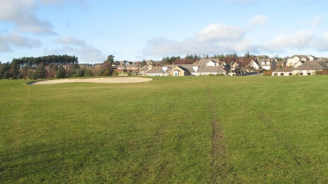
Image: © Richard Webb Taken: 29 Jan 2010
I was somewhat surprised to meet a housing estate out here. View over the golf course towards the new village.
Images are licensed for reuse under creativecommons.org/licenses/by-sa/2.0
Image Location
Latitude
56.500644
Longitude
-3.13238