Former Carmyle Railway Viaduct
Introduction
The photograph on this page of Former Carmyle Railway Viaduct by G Laird as part of the Geograph project.
The Geograph project started in 2005 with the aim of publishing, organising and preserving representative images for every square kilometre of Great Britain, Ireland and the Isle of Man.

There are currently over 7.5m images from over 14,400 individuals and you can help contribute to the project by visiting https://www.geograph.org.uk
Former Carmyle Railway Viaduct
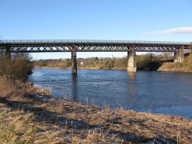
Image: © G Laird Taken: 31 Jan 2010
This disused viaduct formerly carried the Caledonian Railway Line from Kirkhill Junction to Carmyle across the River Clyde.
Images are licensed for reuse under creativecommons.org/licenses/by-sa/2.0
Image Location
Latitude
55.828047
Longitude
-4.147773