Tullyorior Countryside on Circular Road near Corbet
Introduction
The photograph on this page of Tullyorior Countryside on Circular Road near Corbet by Michael Wallace as part of the Geograph project.
The Geograph project started in 2005 with the aim of publishing, organising and preserving representative images for every square kilometre of Great Britain, Ireland and the Isle of Man.

There are currently over 7.5m images from over 14,400 individuals and you can help contribute to the project by visiting https://www.geograph.org.uk
Tullyorior Countryside on Circular Road near Corbet
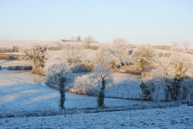
Image: © Michael Wallace Taken: 25 Dec 2009
This is a view of what is known locally as Cappagh Hill and to the right of the picture is old Tullyorior school.
Images are licensed for reuse under creativecommons.org/licenses/by-sa/2.0
Image Location
Latitude
54.324954
Longitude
-6.203101