Loddon Marshes
Introduction
The photograph on this page of Loddon Marshes by Ashley Dace as part of the Geograph project.
The Geograph project started in 2005 with the aim of publishing, organising and preserving representative images for every square kilometre of Great Britain, Ireland and the Isle of Man.

There are currently over 7.5m images from over 14,400 individuals and you can help contribute to the project by visiting https://www.geograph.org.uk
Loddon Marshes
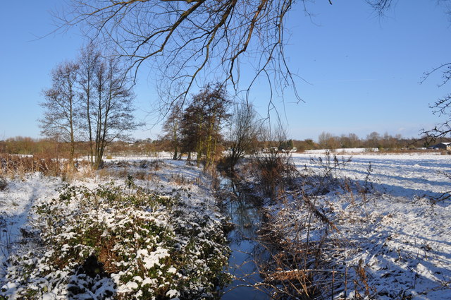
Image: © Ashley Dace Taken: 30 Jan 2010
A view from the footpath over the grazing land on Loddon Marshes. Taken on a short walk from Loddon Church to Pies Mill.
Images are licensed for reuse under creativecommons.org/licenses/by-sa/2.0
Image Location
Latitude
52.535574
Longitude
1.486066