
Explanatory plaque by Sickle Mill
Introduction
The photograph on this page of Explanatory plaque by Sickle Mill by Basher Eyre as part of the Geograph project.
The Geograph project started in 2005 with the aim of publishing, organising and preserving representative images for every square kilometre of Great Britain, Ireland and the Isle of Man.

There are currently over 7.5m images from over 14,400 individuals and you can help contribute to the project by visiting https://www.geograph.org.uk
Explanatory plaque by Sickle Mill
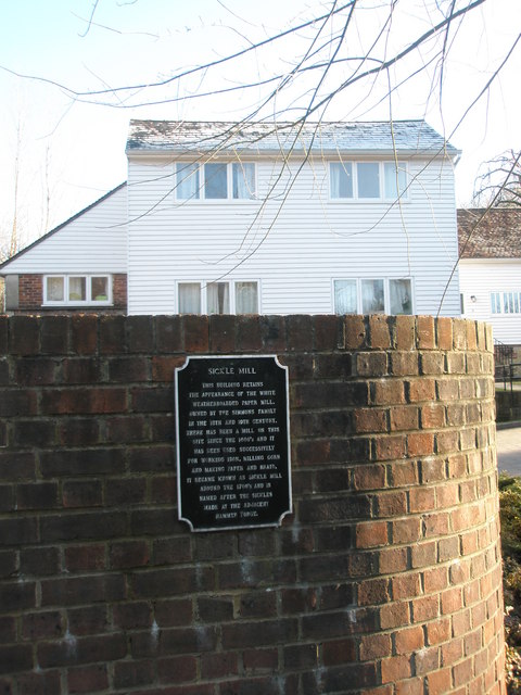
Image: © Basher Eyre Taken: 30 Jan 2010
The plaque reads "This building retains the appearance of the white weatherboarded paper mill, owned by the Simmons family in the 18th and 19th Centuries. There has been a mill on this site since the 1600s and it has been used successively for working iron, milling corn and making paper and braid. It became known as the Sickle Mill around the 1700s and is named after the sickles made at the adjacent Hammer Forge."
Images are licensed for reuse under creativecommons.org/licenses/by-sa/2.0
Image Location

Latitude
51.084686
Longitude
-0.733721