Postbox, Lowertown
Introduction
The photograph on this page of Postbox, Lowertown by Derek Harper as part of the Geograph project.
The Geograph project started in 2005 with the aim of publishing, organising and preserving representative images for every square kilometre of Great Britain, Ireland and the Isle of Man.

There are currently over 7.5m images from over 14,400 individuals and you can help contribute to the project by visiting https://www.geograph.org.uk
Postbox, Lowertown
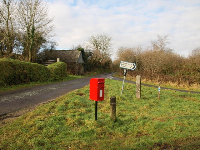
Image: © Derek Harper Taken: 25 Jan 2010
Elizabeth II postbox no PL30 152 is on the triangular green to the north of Image In the background is the lane to Trevillyn.
Images are licensed for reuse under creativecommons.org/licenses/by-sa/2.0
Image Location


Leaflet Map data © OpenStreetMap
Latitude
50.418837
Longitude
-4.742786