Icknield Way and Watlington from Watlington Hill
Introduction
The photograph on this page of Icknield Way and Watlington from Watlington Hill by David Hawgood as part of the Geograph project.
The Geograph project started in 2005 with the aim of publishing, organising and preserving representative images for every square kilometre of Great Britain, Ireland and the Isle of Man.

There are currently over 7.5m images from over 14,400 individuals and you can help contribute to the project by visiting https://www.geograph.org.uk
Icknield Way and Watlington from Watlington Hill
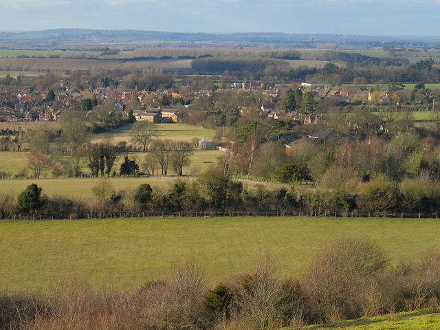
Image: © David Hawgood Taken: 30 Jan 2010
The Icknield Way runs across the photo beyond the first field. View from the National Trust land.
Images are licensed for reuse under creativecommons.org/licenses/by-sa/2.0
Image Location
Latitude
51.63691
Longitude
-0.995701