Green Lane
Introduction
The photograph on this page of Green Lane by Michael Dibb as part of the Geograph project.
The Geograph project started in 2005 with the aim of publishing, organising and preserving representative images for every square kilometre of Great Britain, Ireland and the Isle of Man.

There are currently over 7.5m images from over 14,400 individuals and you can help contribute to the project by visiting https://www.geograph.org.uk
Green Lane
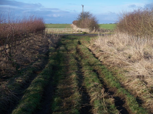
Image: © Michael Dibb Taken: 24 Jan 2010
Green Lane, a restricted byway leaves the minor road from the A361 to the B4206. The track, which runs to Chadlington, is very rutted and unkempt on this stretch.
Images are licensed for reuse under creativecommons.org/licenses/by-sa/2.0
Image Location
Latitude
51.921044
Longitude
-1.52724