Barges Close
Introduction
The photograph on this page of Barges Close by Nigel Mykura as part of the Geograph project.
The Geograph project started in 2005 with the aim of publishing, organising and preserving representative images for every square kilometre of Great Britain, Ireland and the Isle of Man.

There are currently over 7.5m images from over 14,400 individuals and you can help contribute to the project by visiting https://www.geograph.org.uk
Barges Close
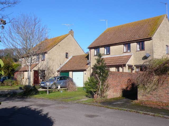
Image: © Nigel Mykura Taken: 30 Jan 2010
Barges Close is part of a small modern housing development on the western side of the village off Baglake a road named after nearby Baglake Farm
Images are licensed for reuse under creativecommons.org/licenses/by-sa/2.0
Image Location
Latitude
50.713312
Longitude
-2.632641