A frosty Mill Lane
Introduction
The photograph on this page of A frosty Mill Lane by Robin Webster as part of the Geograph project.
The Geograph project started in 2005 with the aim of publishing, organising and preserving representative images for every square kilometre of Great Britain, Ireland and the Isle of Man.

There are currently over 7.5m images from over 14,400 individuals and you can help contribute to the project by visiting https://www.geograph.org.uk
A frosty Mill Lane
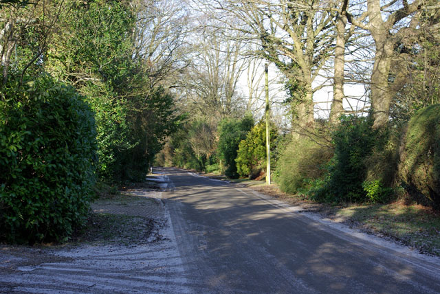
Image: © Robin Webster Taken: 30 Jan 2010
Unsurprisingly, this lane goes to a former mill, that associated with Hedgecourt Lake. It then continues as a rather rough through route but with changed name, Stubpond Lane.
Images are licensed for reuse under creativecommons.org/licenses/by-sa/2.0
Image Location
Latitude
51.14371
Longitude
-0.054897