Gas Road, Sittingbourne
Introduction
The photograph on this page of Gas Road, Sittingbourne by David Anstiss as part of the Geograph project.
The Geograph project started in 2005 with the aim of publishing, organising and preserving representative images for every square kilometre of Great Britain, Ireland and the Isle of Man.

There are currently over 7.5m images from over 14,400 individuals and you can help contribute to the project by visiting https://www.geograph.org.uk
Gas Road, Sittingbourne
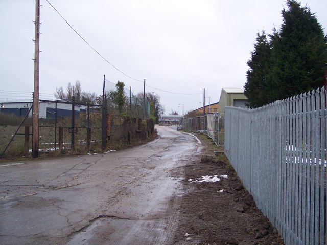
Image: © David Anstiss Taken: 16 Jan 2010
This road leads from the Milton Creek towards Castle Way within the Eurolink Industrial Estate. This road is also used by the Saxon Shore Way (long distance path) heading towards Sittingbourne from the Swale Strait.
Images are licensed for reuse under creativecommons.org/licenses/by-sa/2.0
Image Location
Latitude
51.350312
Longitude
0.754657