Railway crossing the Piddle
Introduction
The photograph on this page of Railway crossing the Piddle by Derek Harper as part of the Geograph project.
The Geograph project started in 2005 with the aim of publishing, organising and preserving representative images for every square kilometre of Great Britain, Ireland and the Isle of Man.

There are currently over 7.5m images from over 14,400 individuals and you can help contribute to the project by visiting https://www.geograph.org.uk
Railway crossing the Piddle
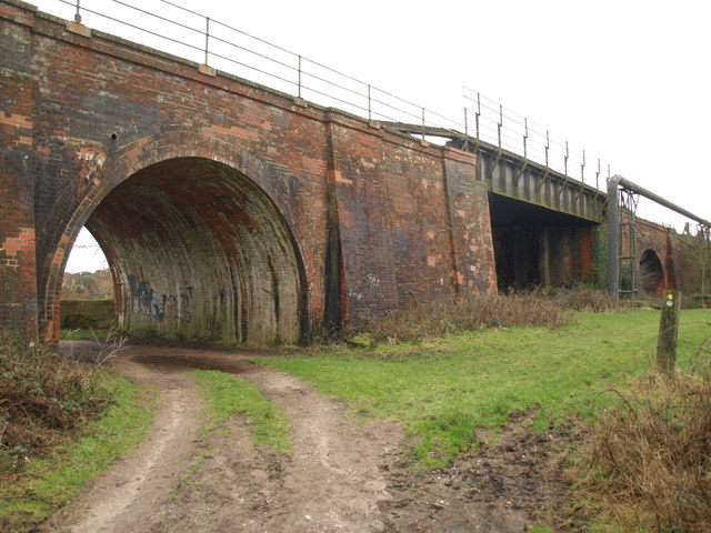
Image: © Derek Harper Taken: 21 Jan 2010
The track carrying footpath SE2/21 passes through the generous arch to the left of the river crossing. The arch on the extreme right is for the West Mills leat.
Images are licensed for reuse under creativecommons.org/licenses/by-sa/2.0
Image Location
Latitude
50.688075
Longitude
-2.124946