Fleetwood Close, Newport
Introduction
The photograph on this page of Fleetwood Close, Newport by Jaggery as part of the Geograph project.
The Geograph project started in 2005 with the aim of publishing, organising and preserving representative images for every square kilometre of Great Britain, Ireland and the Isle of Man.

There are currently over 7.5m images from over 14,400 individuals and you can help contribute to the project by visiting https://www.geograph.org.uk
Fleetwood Close, Newport
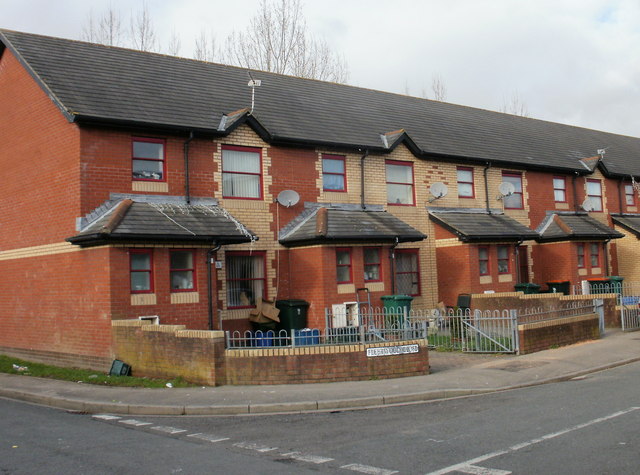
Image: © Jaggery Taken: 28 Jan 2010
Fleetwood Close connects with the far end of Lilburne Drive, between Ludlow Drive and the South Wales-London main railway line. The two parts of Fleetwood Close are at right angles to each other. This view is of houses on the west side of the close as it heads towards trees at the southern edge of the railway.
Images are licensed for reuse under creativecommons.org/licenses/by-sa/2.0
Image Location
Latitude
51.584145
Longitude
-2.969843