Cleves Cross, Ferryhill
Introduction
The photograph on this page of Cleves Cross, Ferryhill by Courtesy Mr John Dinning of Ferryhill as part of the Geograph project.
The Geograph project started in 2005 with the aim of publishing, organising and preserving representative images for every square kilometre of Great Britain, Ireland and the Isle of Man.

There are currently over 7.5m images from over 14,400 individuals and you can help contribute to the project by visiting https://www.geograph.org.uk
Cleves Cross, Ferryhill
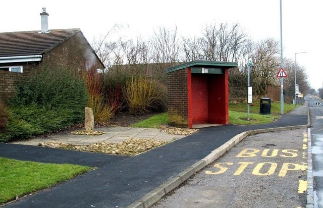
Image: © Courtesy Mr John Dinning of Ferryhill Taken: 26 Jan 2010
Marking the site near where Sir Roger de Fery slew the 'Brawn of Brancepeth' in 1200AD. For the 'fairy story' about this encounter see mention in http://forteanzoology.blogspot.com/2009_05_14_archive.html
Images are licensed for reuse under creativecommons.org/licenses/by-sa/2.0
Image Location
Latitude
54.686484
Longitude
-1.536948