Doveholes station
Introduction
The photograph on this page of Doveholes station by Albert Bridge as part of the Geograph project.
The Geograph project started in 2005 with the aim of publishing, organising and preserving representative images for every square kilometre of Great Britain, Ireland and the Isle of Man.

There are currently over 7.5m images from over 14,400 individuals and you can help contribute to the project by visiting https://www.geograph.org.uk
Doveholes station
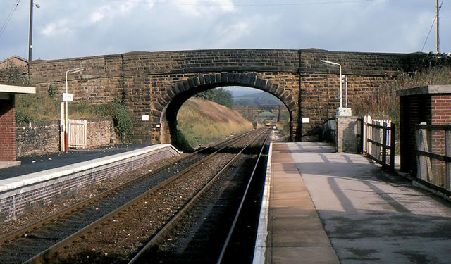
Image: © Albert Bridge Taken: 9 Oct 1984
See Image A similar view – almost 21 years earlier.
Images are licensed for reuse under creativecommons.org/licenses/by-sa/2.0
Image Location
Latitude
53.300341
Longitude
-1.889526