Pennine Way at Tennant Gill Farm
Introduction
The photograph on this page of Pennine Way at Tennant Gill Farm by Chris Heaton as part of the Geograph project.
The Geograph project started in 2005 with the aim of publishing, organising and preserving representative images for every square kilometre of Great Britain, Ireland and the Isle of Man.

There are currently over 7.5m images from over 14,400 individuals and you can help contribute to the project by visiting https://www.geograph.org.uk
Pennine Way at Tennant Gill Farm
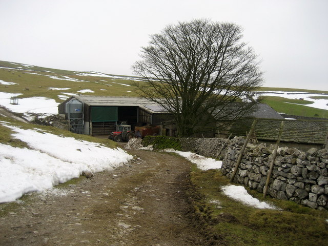
Image: © Chris Heaton Taken: 26 Jan 2010
The National Trail passes beside the farm buildings before the ascent of Fountains Fell. I had a chat with the friendly farmer - he told me I was the first walker he had seen for over 40 days due to the fierce weather experienced here over the last month, he said he saw me as the first sign of spring.
Images are licensed for reuse under creativecommons.org/licenses/by-sa/2.0
Image Location
Latitude
54.120871
Longitude
-2.178816