Edge of part of Outwood Common
Introduction
The photograph on this page of Edge of part of Outwood Common by Robin Webster as part of the Geograph project.
The Geograph project started in 2005 with the aim of publishing, organising and preserving representative images for every square kilometre of Great Britain, Ireland and the Isle of Man.

There are currently over 7.5m images from over 14,400 individuals and you can help contribute to the project by visiting https://www.geograph.org.uk
Edge of part of Outwood Common
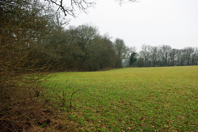
Image: © Robin Webster Taken: 27 Jan 2010
The common land is the wood on the left. The field separates it from the rest of the common, out of sight to the right
Images are licensed for reuse under creativecommons.org/licenses/by-sa/2.0
Image Location
Latitude
51.199712
Longitude
-0.119385