Broad Hill, Penistone
Introduction
The photograph on this page of Broad Hill, Penistone by Barry Hurst as part of the Geograph project.
The Geograph project started in 2005 with the aim of publishing, organising and preserving representative images for every square kilometre of Great Britain, Ireland and the Isle of Man.

There are currently over 7.5m images from over 14,400 individuals and you can help contribute to the project by visiting https://www.geograph.org.uk
Broad Hill, Penistone
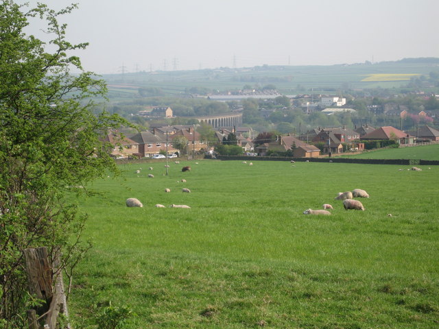
Image: © Barry Hurst Taken: 9 May 2006
Looking across the fields above Well House Lane towards the viaduct carrying the main railway over the River Don. The hedge on the left is at the top of the railway cutting where the railtrack then enters the long tunnel under the main A629 Sheffield to Huddersfield road and the adjacent hillside.
Images are licensed for reuse under creativecommons.org/licenses/by-sa/2.0
Image Location
Latitude
53.533878
Longitude
-1.628817