Scout Dike Reservoir
Introduction
The photograph on this page of Scout Dike Reservoir by Barry Hurst as part of the Geograph project.
The Geograph project started in 2005 with the aim of publishing, organising and preserving representative images for every square kilometre of Great Britain, Ireland and the Isle of Man.

There are currently over 7.5m images from over 14,400 individuals and you can help contribute to the project by visiting https://www.geograph.org.uk
Scout Dike Reservoir
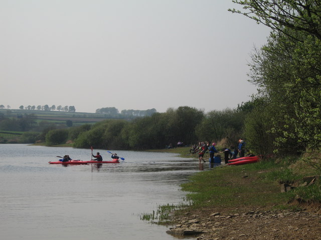
Image: © Barry Hurst Taken: 9 May 2006
Young canoeists from the nearby Kingswood Peak Venture outdoor educational activity centre. ( http://www.scoutdike.co.uk ) Photo taken from the shore path adjacent to the parking access area of Barnsley Trout Club.
Images are licensed for reuse under creativecommons.org/licenses/by-sa/2.0
Image Location


Leaflet Map data © OpenStreetMap
Latitude
53.540242
Longitude
-1.652905