Houses on the Mudford Rd
Introduction
The photograph on this page of Houses on the Mudford Rd by Nigel Mykura as part of the Geograph project.
The Geograph project started in 2005 with the aim of publishing, organising and preserving representative images for every square kilometre of Great Britain, Ireland and the Isle of Man.

There are currently over 7.5m images from over 14,400 individuals and you can help contribute to the project by visiting https://www.geograph.org.uk
Houses on the Mudford Rd
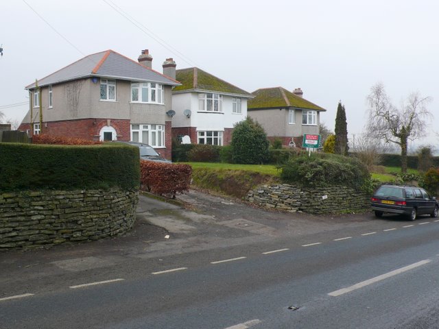
Image: © Nigel Mykura Taken: 27 Jan 2010
There are only a few scattered houses along the Mudford Rd between Yeovil and Mudford. This is a small group just north of the Junction with Lyde Rd in the south of the square. The view is north west from the east side of Mudford Rd
Images are licensed for reuse under creativecommons.org/licenses/by-sa/2.0
Image Location
Latitude
50.961571
Longitude
-2.620915