Council Housing - High Hill
Introduction
The photograph on this page of Council Housing - High Hill by John M as part of the Geograph project.
The Geograph project started in 2005 with the aim of publishing, organising and preserving representative images for every square kilometre of Great Britain, Ireland and the Isle of Man.

There are currently over 7.5m images from over 14,400 individuals and you can help contribute to the project by visiting https://www.geograph.org.uk
Council Housing - High Hill
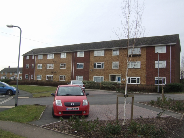
Image: © John M Taken: 27 Jan 2010
Housing association properties at the highest point in the village. Essington sits on top of a hill with views out over the Black Country and Wolverhampton.
Images are licensed for reuse under creativecommons.org/licenses/by-sa/2.0
Image Location
Latitude
52.628341
Longitude
-2.061712