Footpath to Stone Farm
Introduction
The photograph on this page of Footpath to Stone Farm by Bob Jones as part of the Geograph project.
The Geograph project started in 2005 with the aim of publishing, organising and preserving representative images for every square kilometre of Great Britain, Ireland and the Isle of Man.

There are currently over 7.5m images from over 14,400 individuals and you can help contribute to the project by visiting https://www.geograph.org.uk
Footpath to Stone Farm
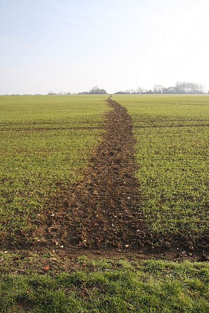
Image: © Bob Jones Taken: 26 Jan 2010
Considering its relatively remote location, this path across a sown field appears to be well used. The buildings on the horizon are at Butterfly Farm, but this path heads for Stone Farm and the lane leading to High Road, south of Great Finborough.
Images are licensed for reuse under creativecommons.org/licenses/by-sa/2.0
Image Location
Latitude
52.172904
Longitude
0.924421