Footpath to Loose Hall
Introduction
The photograph on this page of Footpath to Loose Hall by Bob Jones as part of the Geograph project.
The Geograph project started in 2005 with the aim of publishing, organising and preserving representative images for every square kilometre of Great Britain, Ireland and the Isle of Man.

There are currently over 7.5m images from over 14,400 individuals and you can help contribute to the project by visiting https://www.geograph.org.uk
Footpath to Loose Hall
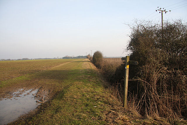
Image: © Bob Jones Taken: 26 Jan 2010
Unusually, this footpath heads due east, almost exactly following the grid line. However, according to Get-a-Map, the photographer is standing just inside the grid square and the first two hundred metres or so is still within the square.
Images are licensed for reuse under creativecommons.org/licenses/by-sa/2.0
Image Location
Latitude
52.139243
Longitude
0.910959