Clayhidon Crossway
Introduction
The photograph on this page of Clayhidon Crossway by Derek Harper as part of the Geograph project.
The Geograph project started in 2005 with the aim of publishing, organising and preserving representative images for every square kilometre of Great Britain, Ireland and the Isle of Man.

There are currently over 7.5m images from over 14,400 individuals and you can help contribute to the project by visiting https://www.geograph.org.uk
Clayhidon Crossway
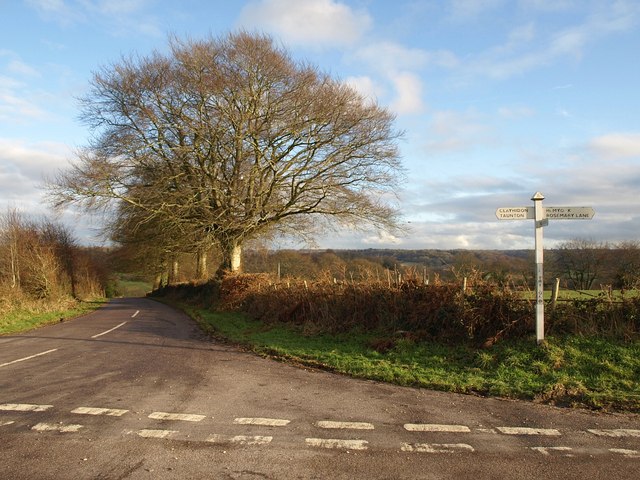
Image: © Derek Harper Taken: 18 Jan 2010
Although the signpost suggest it's simply "Clayhidon Cross". Battle Street, straight ahead, descends into the Clayhidon valley and thence into the Culm valley.
Images are licensed for reuse under creativecommons.org/licenses/by-sa/2.0
Image Location
Latitude
50.929126
Longitude
-3.196349