East Street, Horncastle
Introduction
The photograph on this page of East Street, Horncastle by Dave Hitchborne as part of the Geograph project.
The Geograph project started in 2005 with the aim of publishing, organising and preserving representative images for every square kilometre of Great Britain, Ireland and the Isle of Man.

There are currently over 7.5m images from over 14,400 individuals and you can help contribute to the project by visiting https://www.geograph.org.uk
East Street, Horncastle
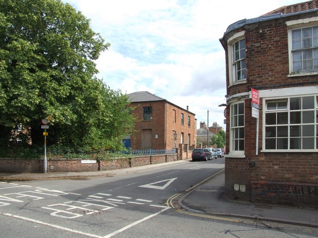
Image: © Dave Hitchborne Taken: 18 Jul 2009
The junction with Queen Street - In view we see a public house and church, with just a glimpse of a Sunday school. To the right is the former Cross Keys, Batemans public house. Across the road is the former Independent Chapel and Independent Sunday School. The public house lasted longest in spite of there being at least another ten in town. Spirits being preferable to Spiritual guidance. Queen Street is 'Access Only'.
Images are licensed for reuse under creativecommons.org/licenses/by-sa/2.0
Image Location
Latitude
53.208067
Longitude
-0.113333