Russelsheim Way, Rugby
Introduction
The photograph on this page of Russelsheim Way, Rugby by Stephen McKay as part of the Geograph project.
The Geograph project started in 2005 with the aim of publishing, organising and preserving representative images for every square kilometre of Great Britain, Ireland and the Isle of Man.

There are currently over 7.5m images from over 14,400 individuals and you can help contribute to the project by visiting https://www.geograph.org.uk
Russelsheim Way, Rugby
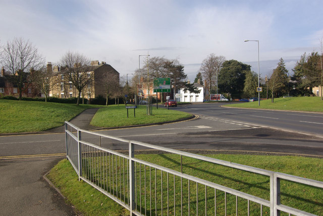
Image: © Stephen McKay Taken: 24 Jan 2010
Named after Rugby's twin town, Russelsheim Way forms the southern side of the gyratory system. In this view, Firs Drive - a residential road - leads off to the left. Further on is the junction with Bilton Road.
Images are licensed for reuse under creativecommons.org/licenses/by-sa/2.0
Image Location
Latitude
52.369782
Longitude
-1.266754