Entering Stewartfield
Introduction
The photograph on this page of Entering Stewartfield by Stephen Sweeney as part of the Geograph project.
The Geograph project started in 2005 with the aim of publishing, organising and preserving representative images for every square kilometre of Great Britain, Ireland and the Isle of Man.

There are currently over 7.5m images from over 14,400 individuals and you can help contribute to the project by visiting https://www.geograph.org.uk
Entering Stewartfield
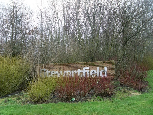
Image: © Stephen Sweeney Taken: 26 Jan 2010
Sign at the west end of the residential area of Stewartfield, near the National Museum of Rural Life.
Images are licensed for reuse under creativecommons.org/licenses/by-sa/2.0
Image Location
Latitude
55.776202
Longitude
-4.21795